 ar
ar bg
bg hr
hr cs
cs da
da nl
nl fi
fi fr
fr de
de el
el hi
hi it
it ko
ko no
no pl
pl pt
pt ro
ro ru
ru es
es sv
sv tl
tl iw
iw id
id lv
lv lt
lt sr
sr sk
sk sl
sl uk
uk vi
vi et
et hu
hu th
th tr
tr fa
fa ms
ms hy
hy ka
ka ur
ur bn
bn mn
mn ta
ta kk
kk uz
uz ku
ku
GPS Displacement Monitoring System
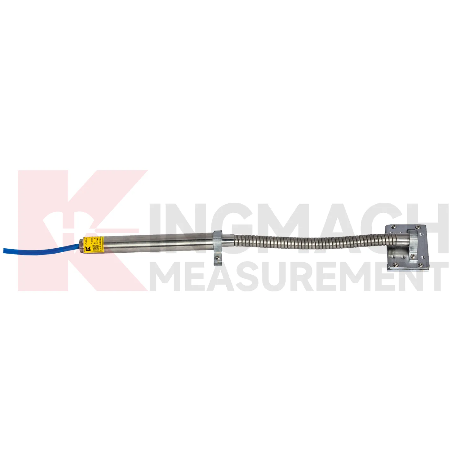
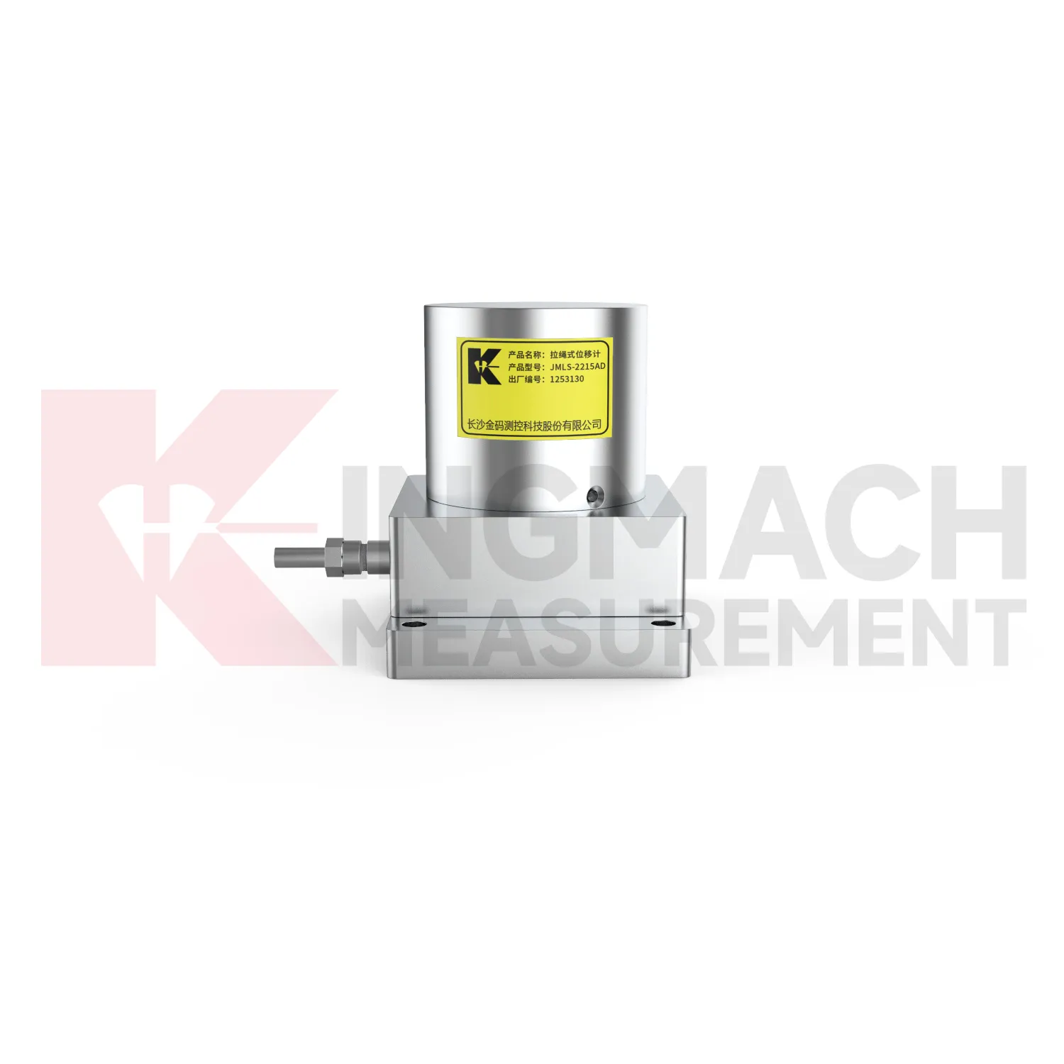
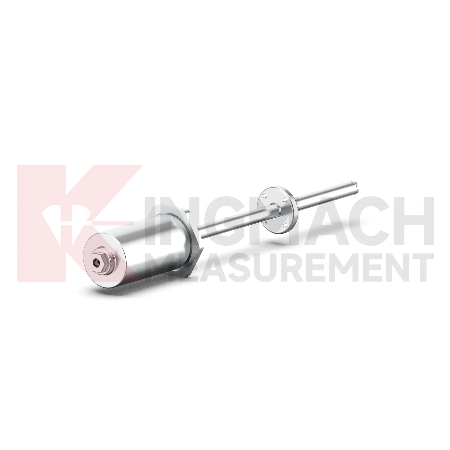
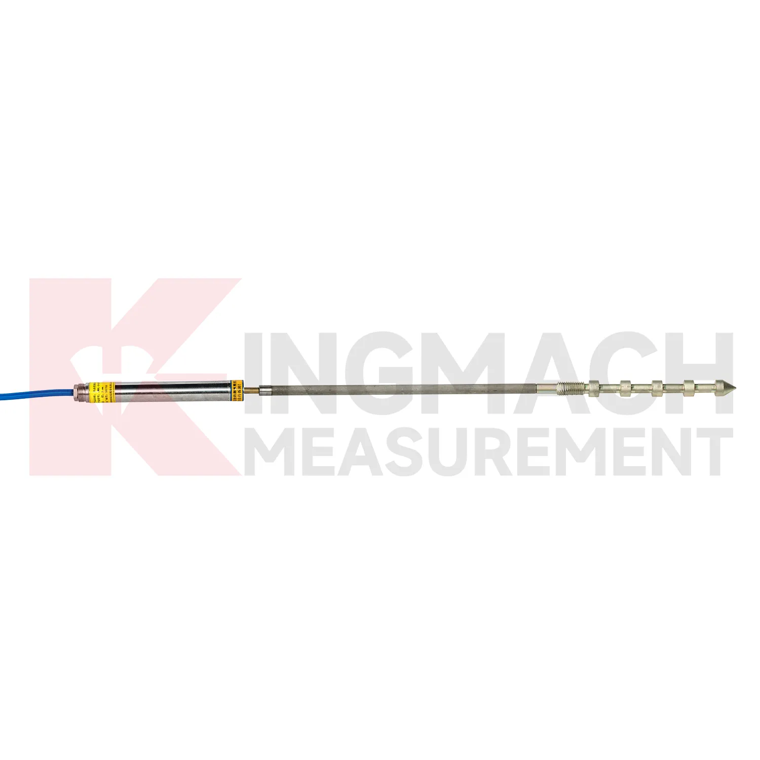
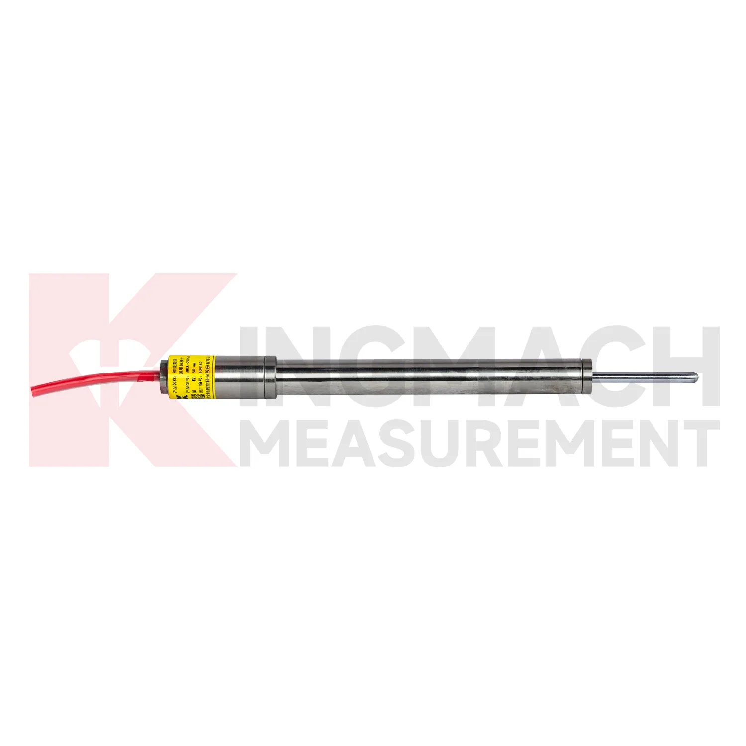
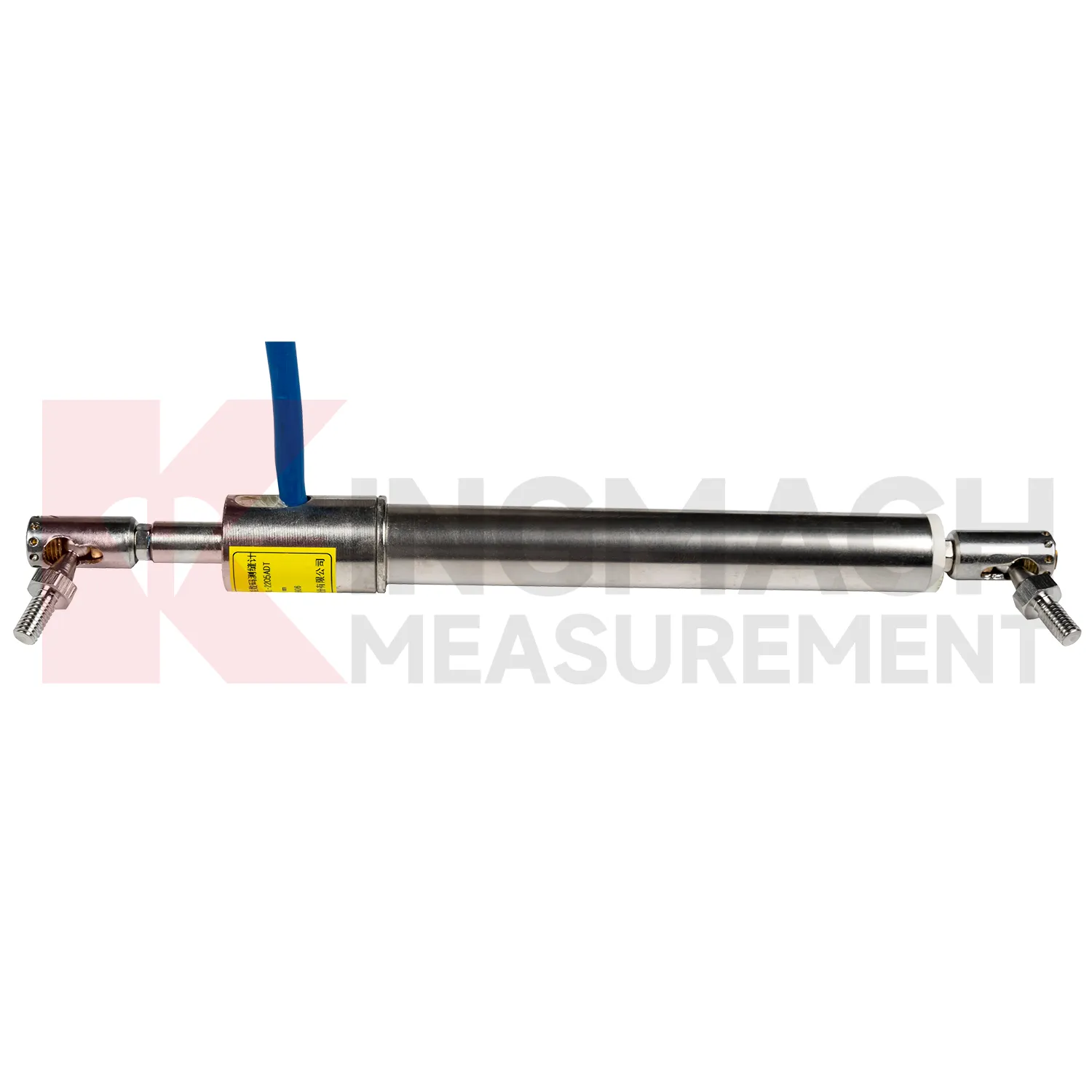
Kingmach GPS Displacement Monitoring System include the JMDL-31XXAT Smart Multipoint Displacement Meter for tunnels, rock slopes, foundation pits, and surrounding rock layers. The product uses displacement gauges, PVC measuring rod protective tubes, anchor heads, and multipoint installation kits that support three to five monitoring points. Installation is performed by drilling and grouting, with anchor heads fixed at different depths so each layer can be observed separately. Listed models include 50 mm, 100 mm, and 200 mm ranges, all with 0.01 mm resolution. The sensing principle uses an LC oscillation circuit: as the measuring rod moves inside the coil, magnetic reluctance and inductance change, causing the output frequency to change in a linear relationship with displacement. Because the rod and coil work without contact, the structure is less vulnerable to mechanical damage during installation. The built-in memory stores model, serial number, calibration coefficients, and up to 600 measurement records for later traceability. During project setup, the measuring point should be matched with the expected travel direction, available mounting space, cable route, and required acquisition interval. This prevents a short-range joint instrument from being used on a long-travel point, or an exposed sensor from being placed where an embedded anchor is needed. It also helps the monitoring team set a baseline that can be defended during acceptance and later maintenance review.
Application of GPS Displacement Monitoring System
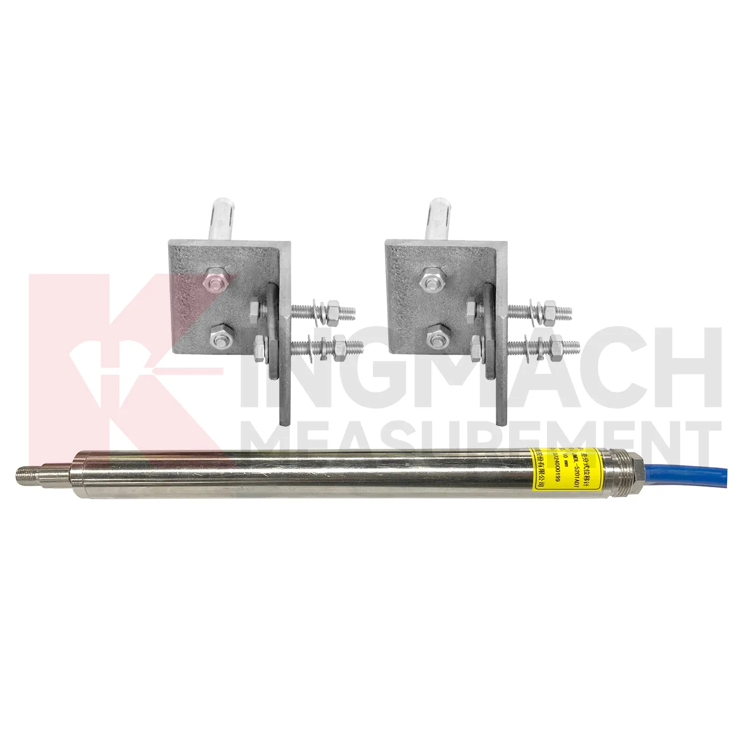
In integrated structural health monitoring, GPS Displacement Monitoring System act as the movement layer inside a wider measurement network. Their role is to show where a point has shifted, how fast the shift is developing, and whether the change agrees with other instruments. Kingmach displacement products can feed digital records into acquisition units and monitoring platforms, while related Kingmach product groups provide strain, load, settlement, tilt, vibration, pore pressure, water level, rainfall, data logging, cables, and software. A practical system may use JMDL-52XXADT meters for precise joint travel, JMDL-31XXAT meters for rock layers, JMDL-24XXAT meters for buried geogrid deformation, and JMLS-22XXADT sensors for longer cable travel. The data chain should define point names, units, zero values, sampling intervals, warning grades, and inspection actions before alarms are enabled. This prevents a displacement curve from becoming an isolated chart. Instead, the reading can be checked beside force, strain, settlement, temperature, rainfall, and construction records, giving engineers a clearer basis for maintenance and warning review. During commissioning, each curve should be verified against the physical point so later reports can be trusted by site teams, designers, and owners. The same record should also note cabinet number, logger channel, cable tag, power supply, and communication route, because many long-term data problems begin outside the sensor body.
The future of GPS Displacement Monitoring System
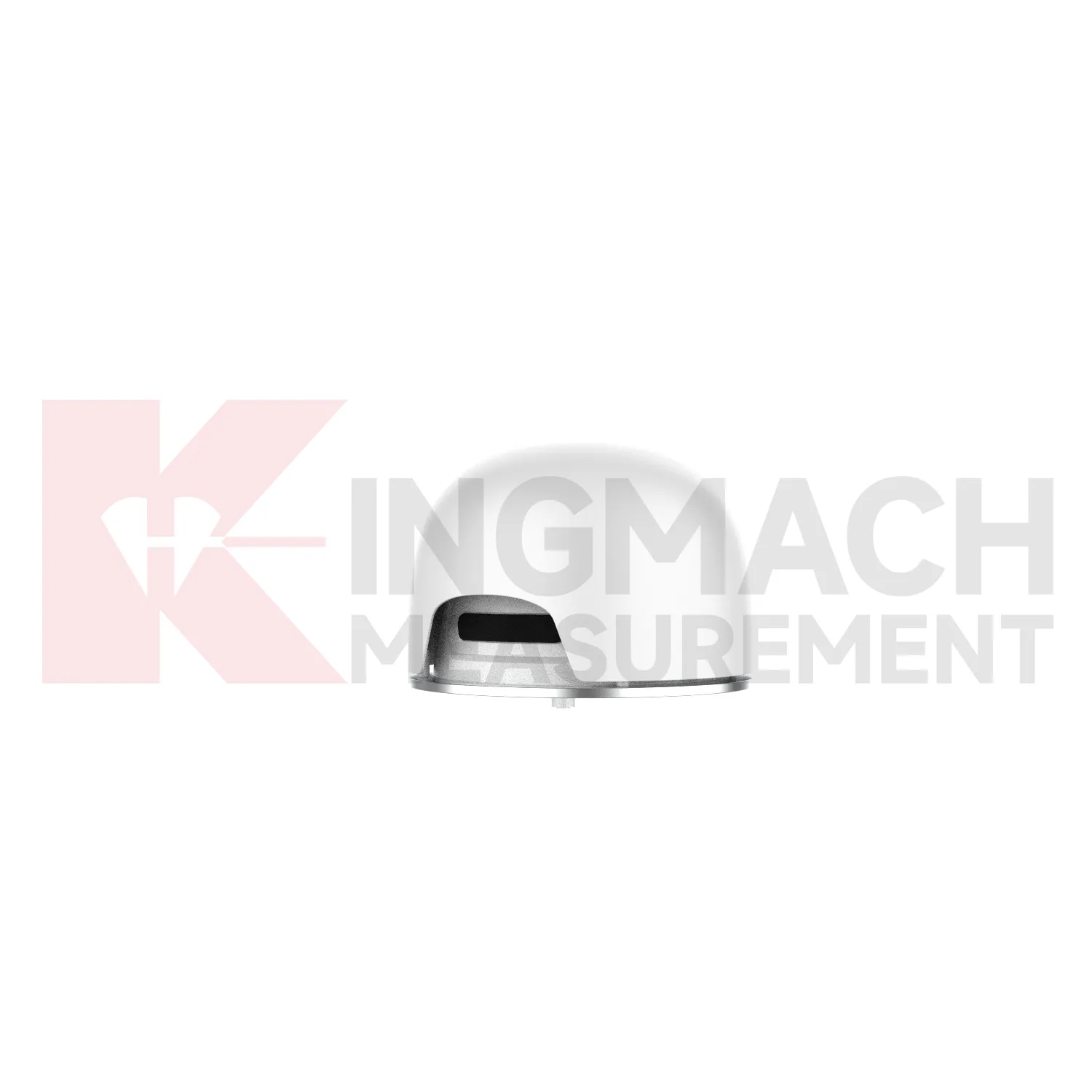
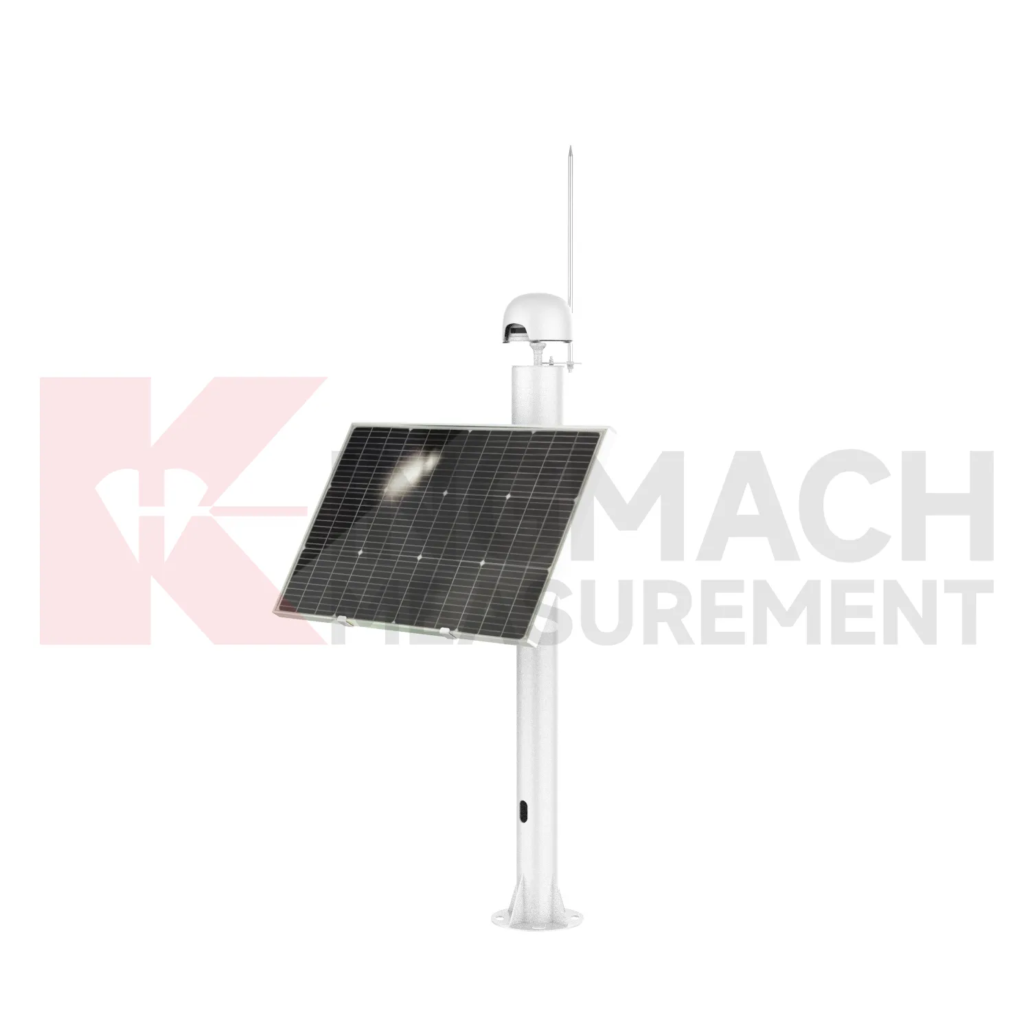
Future GPS Displacement Monitoring System will likely place more intelligence at the edge of the monitoring network. Instead of sending every reading to a platform without review, acquisition units can check whether a displacement jump is physically plausible, whether the temperature moved at the same time, and whether nearby channels changed in the same direction. Kingmach smart products already store measurement time, temperature for temperature versions, absolute displacement, relative displacement, and zero-point values on selected models. That local record can support early filtering and field diagnosis. For remote slopes, dams, subgrades, and tunnel portals, this matters because network access may be unstable and maintenance visits may be expensive. Edge checks can flag cable damage, zero drift, sudden water ingress, or installation movement before the data is accepted as structural deformation. The strongest systems will still depend on careful installation, because digital tools cannot correct a loose bracket, wrong range, or poorly recorded baseline. Clear reporting will make displacement monitoring more useful for non-specialist decision makers while preserving the detail engineers need.
Care & Maintenance of GPS Displacement Monitoring System
For automated GPS Displacement Monitoring System, maintenance must include the whole data chain. A sensor can be accurate while the monitoring record is wrong because of channel swaps, wrong units, missed zero values, loose terminals, damaged power supply, or unstable communication. Kingmach displacement products may connect to comprehensive testers, bus modules, automatic acquisition systems, RS485 networks, and monitoring platforms. During commissioning, verify each channel by moving the sensor slightly or checking a known displacement point, then record direction, units, baseline, range, and warning values. During service, check whether data gaps match power failures, communication faults, storms, or cabinet maintenance. Keep spare connectors and labels for field work. When replacing a sensor, do not simply reuse the old zero value; record the replacement time, new model, serial number, range, calibration coefficient, and first stable reading. Keep the installation photo, point number, zero value, and expected movement direction with the commissioning record for later review. If a reading changes after maintenance work, inspect the base, anchor, cable, and cabinet before assuming the structure itself has moved.
Kingmach GPS Displacement Monitoring System
In structural monitoring, GPS Displacement Monitoring System should not be treated as single-purpose accessories. Kingmach displacement products can work with comprehensive testers, automatic acquisition systems, bus modules, RS485 output, and monitoring software, which allows movement data to sit beside strain, load, settlement, tilt, vibration, temperature, and water level. That combined view is important because displacement often has several causes. A tunnel crown reading may respond to excavation sequence, groundwater, lining age, or nearby traffic. A bridge joint may move with both temperature and bearing behavior. A slope reading may change after rainfall, blasting, or retaining wall loading. By using smart products with stored parameters and digital transmission, project teams reduce channel mix-ups and make later data review cleaner. The result is a monitoring chain where field installation, sensor identity, baseline readings, and platform curves can be checked against one another. The point should be named on the drawing, linked with its cable route, and checked against the expected movement direction before the first automatic reading is accepted. For daily review, the reading should be compared with nearby points, recent weather, site operations, and any loading event that could explain the movement.
FAQ
Q: How should GPS Displacement Monitoring System be maintained?
A: Inspect brackets, anchors, measuring rods, cable routes, connectors, waterproof seals, cabinet wiring, grounding, and channel labels at planned intervals.
Q: What signs suggest a data problem rather than real movement?
A: Flat lines, sudden jumps after cabinet work, repeated communication gaps, impossible readings, or disagreement with nearby points may indicate sensor, cable, power, or channel issues.
Q: Can temperature affect displacement data?
A: Yes. Some products include low temperature sensitivity, differential measurement, or temperature records, but temperature should still be reviewed with the movement trend.
Q: Should zero values be reset often?
A: No. Resetting without a field reason can hide structural movement. Record the event, reason, and new baseline if a reset is required.
Q: What makes a displacement record useful during handover?
A: A useful record includes model, range, serial number, calibration coefficient, baseline, installation photo, point location, latest trend, warning level, and maintenance notes.
Reviews
Christopher Martinez
Very satisfied with the readouts & data loggers. User-friendly interface and supports multiple sensor inputs.
Robert Taylor
The weir flow meter is well-built and delivers accurate measurements. Great value for water management applications.
Latest Inquiries
To protect the privacy of our buyers, only public service email domains like Gmail, Yahoo, and MSN will be displayed. Additionally, only a limited portion of the inquiry content will be shown.
Mia***@gmail.comNetherlands
Dear team, we are interested in your readouts & data loggers compatible with multiple sensors. Do yo...
Evelyn***@gmail.comSouth Africa
Hi, we are a contractor working on tunnel construction and need settlement sensors and displacement ...